13
CALL 1-800-845-3524
Desolation Creek
Grant County, Oregon
100
PUBLISHED RESERVE:
$6,875,000 / $511 per Acre
SIZE:
13,440± GIS Acres
ELEVATION:
3,500 to 4,800± Feet
HUNTING UNIT:
Desolation Creek
ZONING:
PF-80 (240) Primary Forest Use
DESCRIPTION:
Desolation Creek is the largest
private block of ownership within the Desolation
Watershed that is tributary to North Fork John
Day River, which is 1.5± miles from the property.
Over ten miles of Desolation Creek runs on the
property and supports Chinook salmon, steel-
head, bull trout, brook trout, cutthroat trout and
mountain whitesh.
The North Fork John Day River and its tributaries
account for about 70% of the salmon production
within the John Day Basin, according to the U.S.
Forest Service. Acquisition of the Desolation Creek
Tract provides signicant opportunity for a new
owner to obtain conservation values by restoring
10.8± miles of riparian area along both sides of
Desolation Creek, or by obtaining a working forest
conservation easement. Additional riparian resto-
ration opportunity locations are at Kelsay, Moon-
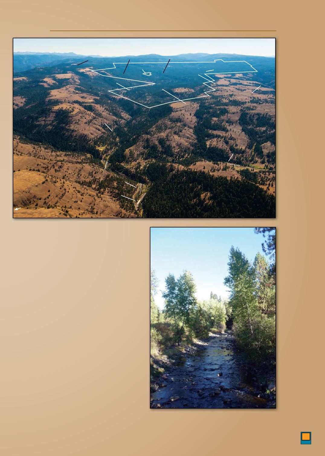
View south to
the Desolation
Creek Tract
from the North
Fork John Day
River
10.8± miles
of Desolation
Creek runs
through the
property
Hhwy 395
Tx B R
D
USFS R 10
C R
Dff Mw
W Mw
D
C
O-P
Mh
C
E F
Mw
C
North Fork John Day River
B C S
W A
Desolation Creek
Desolation Creek
Nh F Jh
Dy W
O F
N


