
67
OR FAX FORM ON PAGE 79 TO 503-242-1814
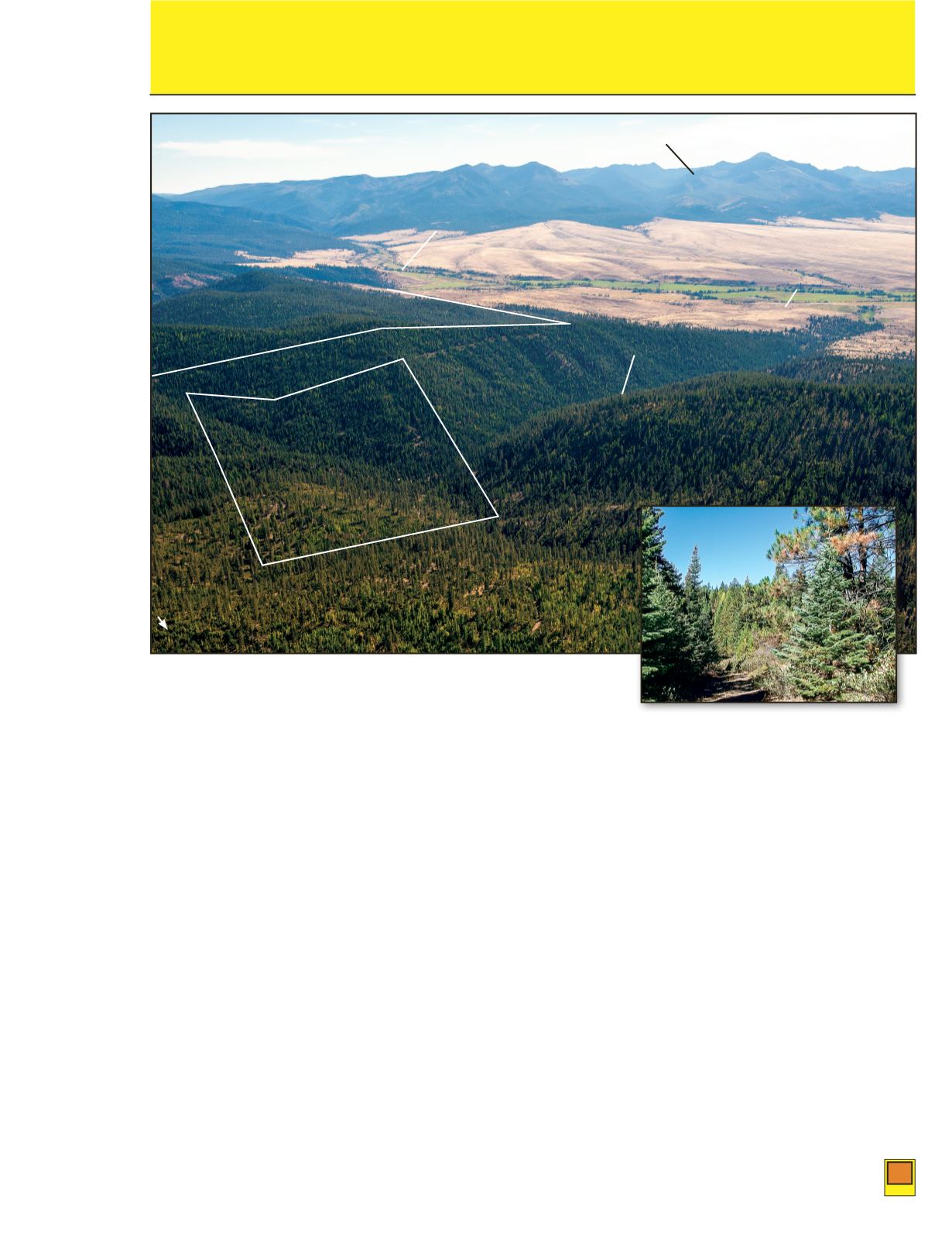
Eastern Oregon Elk Hunting and Recreation Tracts near John Day River
Valley and Strawberry Mountian Wilderness, Grant County, Oregon
130
and
131
130
131
PUBLISHED RESERVE: $99,500*
$443,000*
* Sales of Auction property 130 and 131 is subject to combined bids in the aggregate to equal, or exceed, the Bulk Published Reserve Price
of $542,500
LASTASKING:
First Time Offered
First Time Offered
SIZE:
160± Acres
800± acres
ELEVATION:
4,500± to 5,100± Feet 4,600± to 5,300± Feet
ZONING: MUR – Multi-Use Range, 160 acre minimum parcel size
PROPERTY INSPECTION: Locked Gate – Please call Auction Information Office to Schedule
Inspection
FINANCING: None – All Cash
DESCRIPTION: These two tracts are located south of John Day, Oregon, just east of Prairie City, along
the foothills of the Blue Mountains, overlooking John Day River Valley and within Murderers Creek
Wildlife Management Unit. Both tracts will qualify for landowner preference tags. The properties are
bordered by Malheur National Forest to the east, and private ranchlands to the west, with potential for
development of a base camp for hunting or as a seasonal cabin.
Auction Property #130
is 160± acres and is located along Isham Creek, which is a fish bearing stream,
and is tributary to John Day River. This tract has physical access from adjoining private land to the
south, only. Slopes are mostly moderate to steep, north- and west-facing, and have some residual timber.
Malheur National Forest lands are to the east. The old logging road along Isham Creek is not passable.
Strawberry Mt. Wilderness
John Day River Valley
North River Road
Isham Creek
#131
John Day River
#130
N


